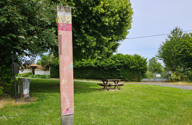
The Heights of Pont-Rémy
Somme Tourisme
©SommeTourisme-JG-TS
ADRT80
©SommeTourisme-JG-TS
Somme Tourisme
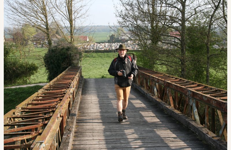
The hike
The Heights of Pont-Rémy
PONT-REMY
Distance : 9 km
3h20medium
1hvery easy to easy
Discover
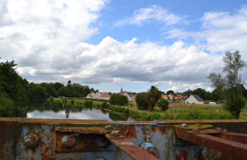
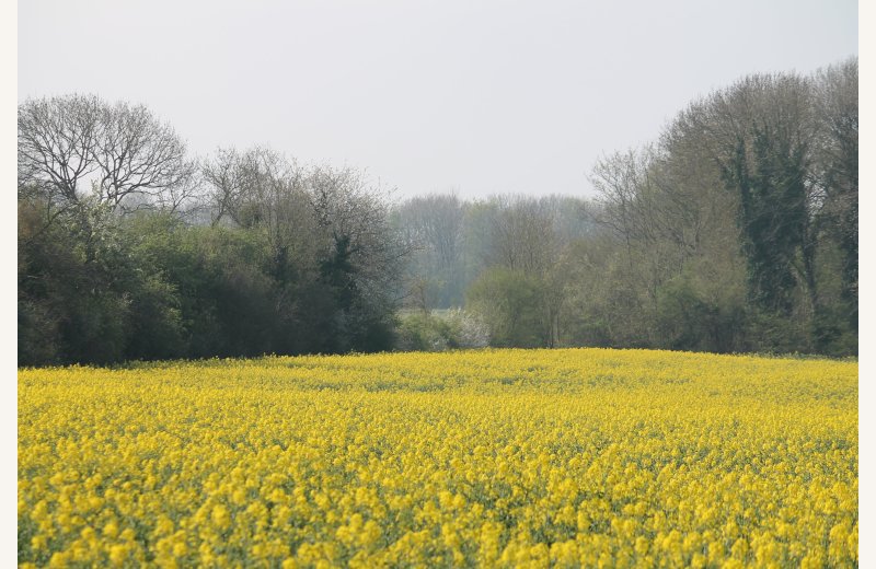
Follow alogside the River Somme and its ponds, then climb towards the fields and woods and head toward Pont-Remy, well named with its many bridges or "ponts" in French.
Details of the hike
Departure : PONT-REMY
The canal Mooring, 250m from the church at Pont-Rémy on the tow-path (car park at the church)
The canal Mooring, 250m from the church at Pont-Rémy on the tow-path (car park at the church)
Arrival : PONT-REMY
Distance : 9 km
Hiking time on foot (average) : 3h20
Level : medium
Level : medium
Hiking time by mountain bike (average) : 1h
Level : very easy to easy
Level : very easy to easy
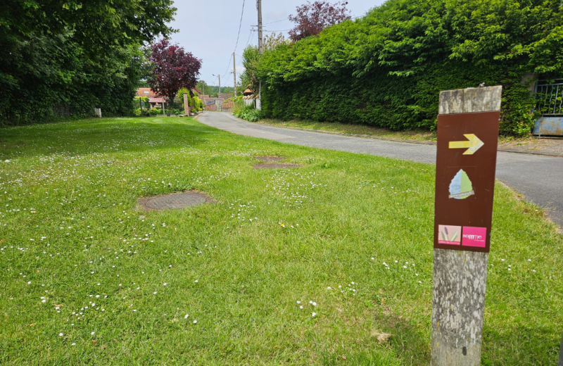
Markings : Yellow sign posts
Documents / Downloads
Reference map IGN : 2207O
Labels
FFRandonnée